WEATHER EVENTS
Modern satellite data enables us to collect and analyze data on a weekly basis. Meaning there is an opportunity to understand the impact of weather events with greater speed and power than ever before.
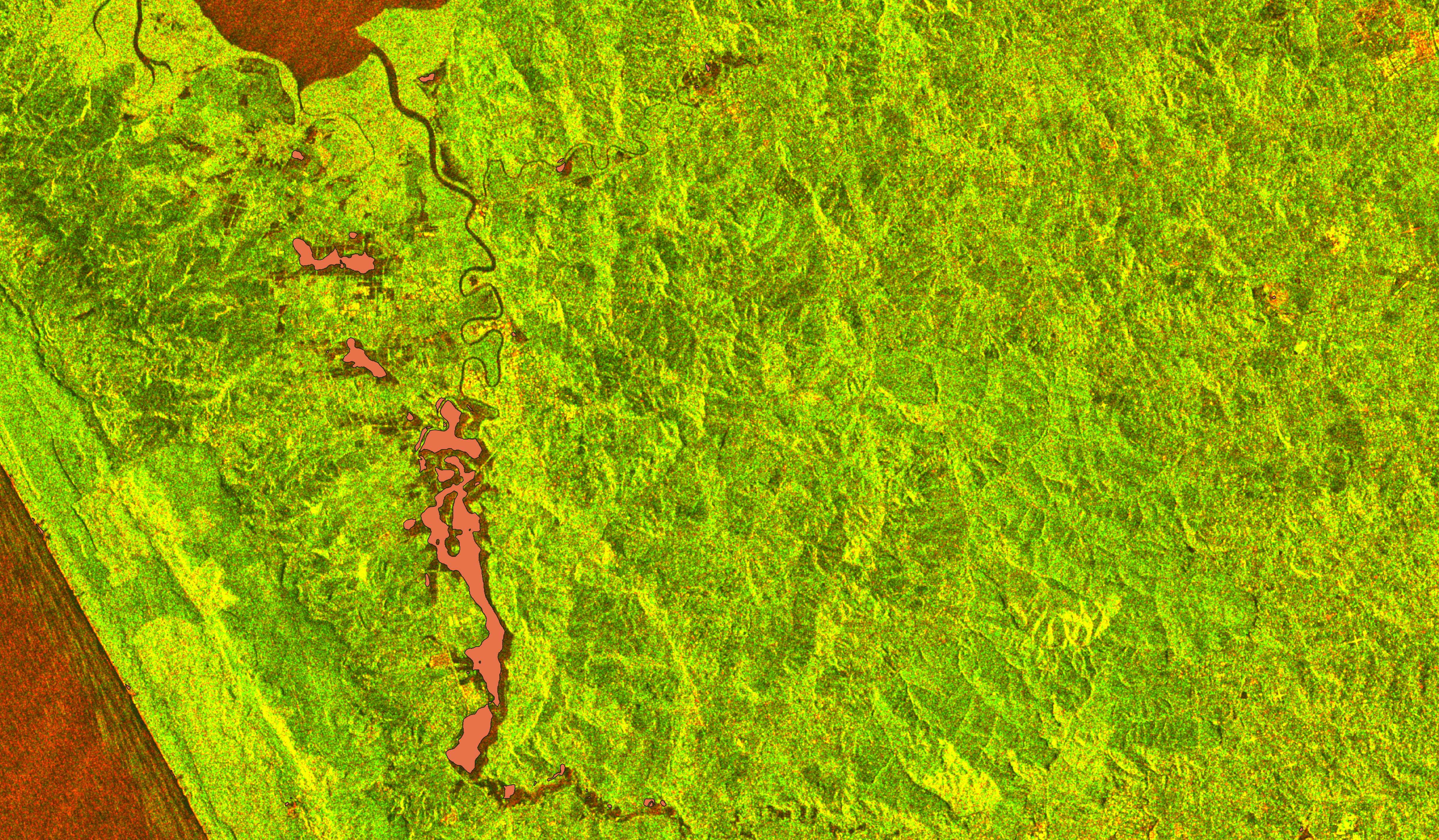
Flooding: Spatial extent and recovery
Land Scanner can provide a near-time event-based understanding of flood distribution. Land Scanner reveals the variation in flooding through time and space.
Land Scanner can analyze flooding events over the last eight years, and do so using hundreds of time intervals - creating a detailed record of hydrological change. This enables our customers to see changes in flooding extent through time, the impact of flooding on different land classes, as well the speed and extent of recovery following an event.
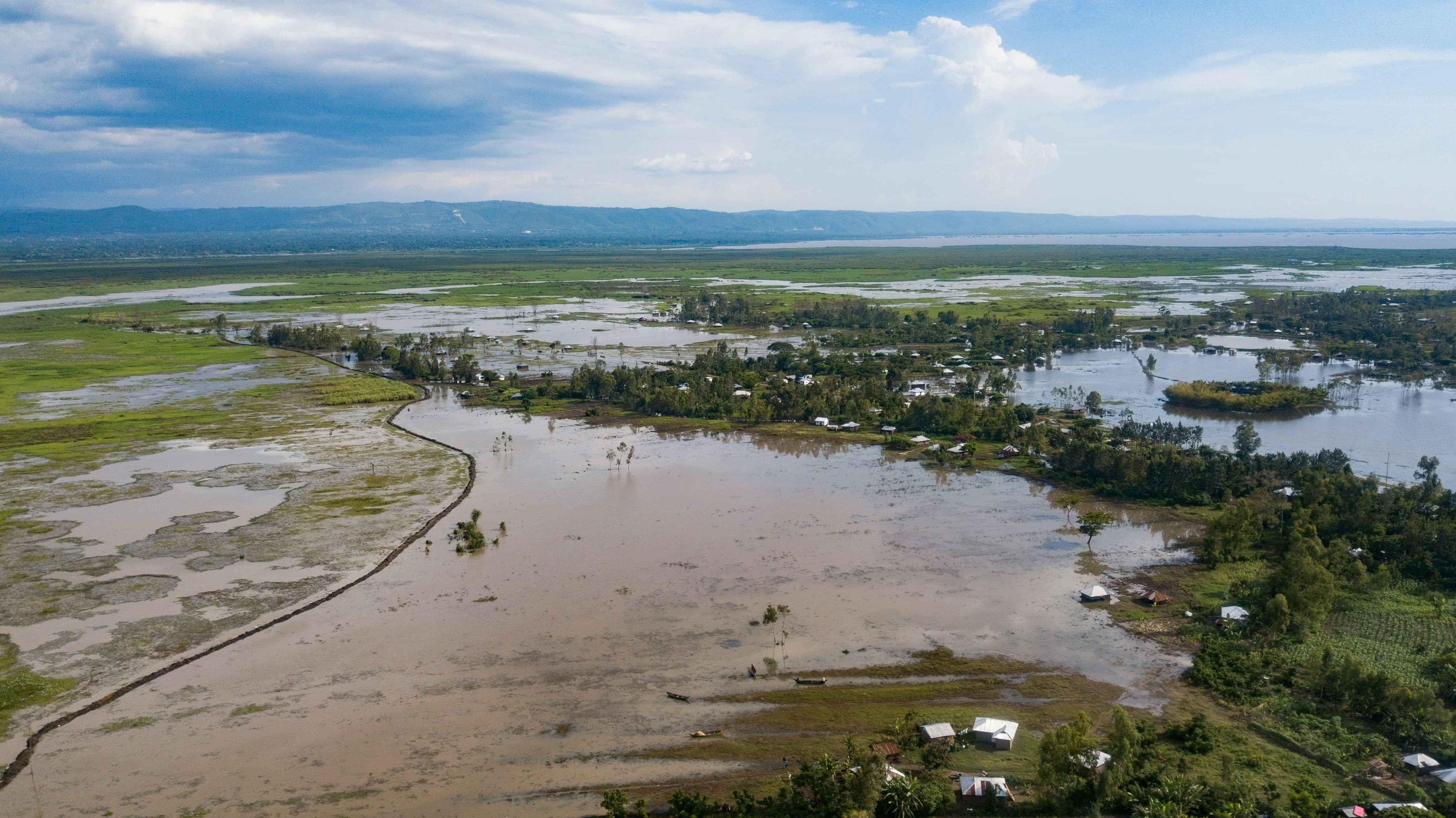
Visualize damage from weather events
With Land Scanner, you can track how weather events affect different land types, and compare changes in weather patterns each year. After a weather event, Land Scanner provides an understanding of flood levels and sediment deposition insights within days to support quick decisions. We can also combine data sets to find forest windthrow and erosion in relation to extreme weather.
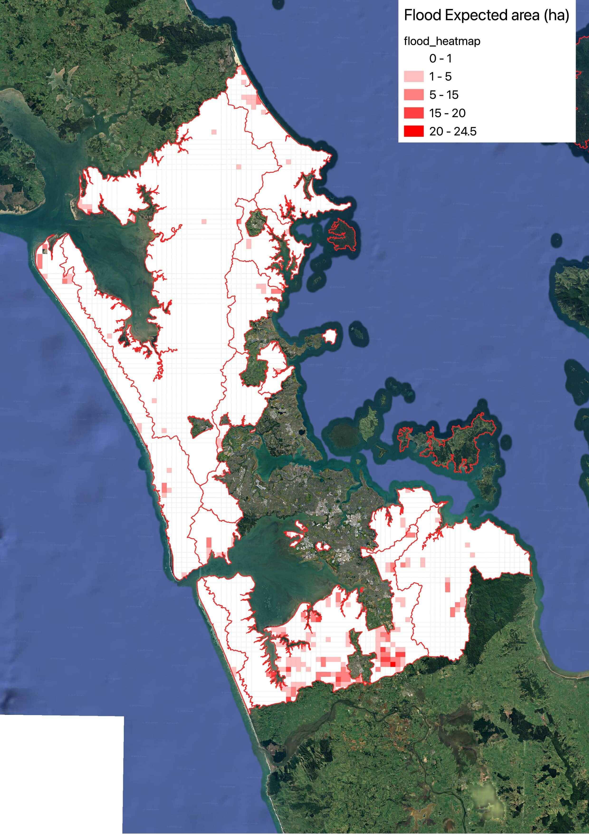
Planning and prioritization
We create risk heat maps, based on historical flooding extent. This help managers predict flooding events to focused areas and ideally help communities and authorities prepare for future events, allowing allows early action plans to be put in place.