REPORTING & ANALYSIS
Reporting to guide communication and understanding
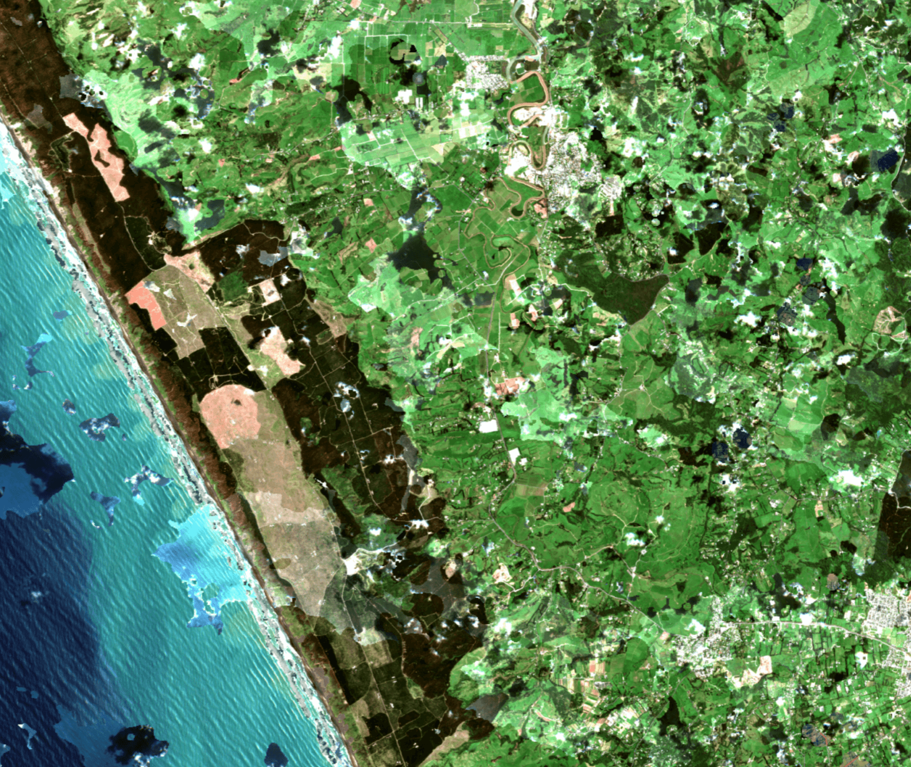
Shed light on the land
Land Scanner’s reporting transforms raw environmental data into useful visuals, maps and shapefiles. From detailed heat maps to data comparisons and change graphs through time, we make complex patterns simple to understand. Using AI modelling, Land Scanner can help highlight change - whether that's problems, trends or achievements - helping you track and share the state and change of any given area.
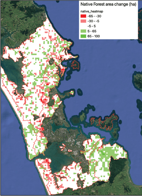
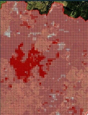
Triage assessment and heat maps
Our easy to read heat maps pinpoint where landscape changes have happened. We scan the land so that managers can focus on small, meaningful areas where change has occurred.
Data reporting
Land Scanner creates a large volume of data. We present this in ways that make state and change easy to interpret and communicate. We work with clients to ensure that reporting meets their needs.
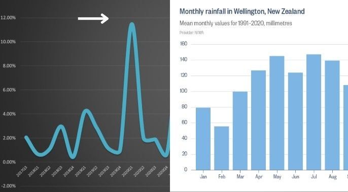
Tracks progress over time
Having eyes on the landscape picks up shifts in key environmental factors across months or years, often where there changes would be imperceptible or inaccessible using traditional methods.
Turn data into better decisions
With Land Scanner, reliable environmental impact reporting fuels practical action. Our straightforward analysis gives you confidence, whether you’re planning, reviewing or explaining project outcomes. We are ready to support you with knowledge to make informed, sustainable choices for the future.