LAND SCANNER CASE STUDIES:
REAL-WORLD RESULTS FROM OPERATIONAL PROJECTS
Land Scanner is designed to be operational... not theoretical. We work with managers to help them make informed decisions.
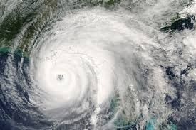
Mapping near time flooding extent
Using remote sensing and AI, we can map flooding events soon after they have occurred. Land Scanner has done this across New Zealand, looking at significant weather events that have shaped New Zealand's future. We have mapped the devastating cyclones: Hale, Gabrielle and the flooding of January 2026 that impacted Northland and the Bay of Plenty. Click here to see more about tracking the severe weather event that impacted Auckland on Anniversary weekend in January 2023.
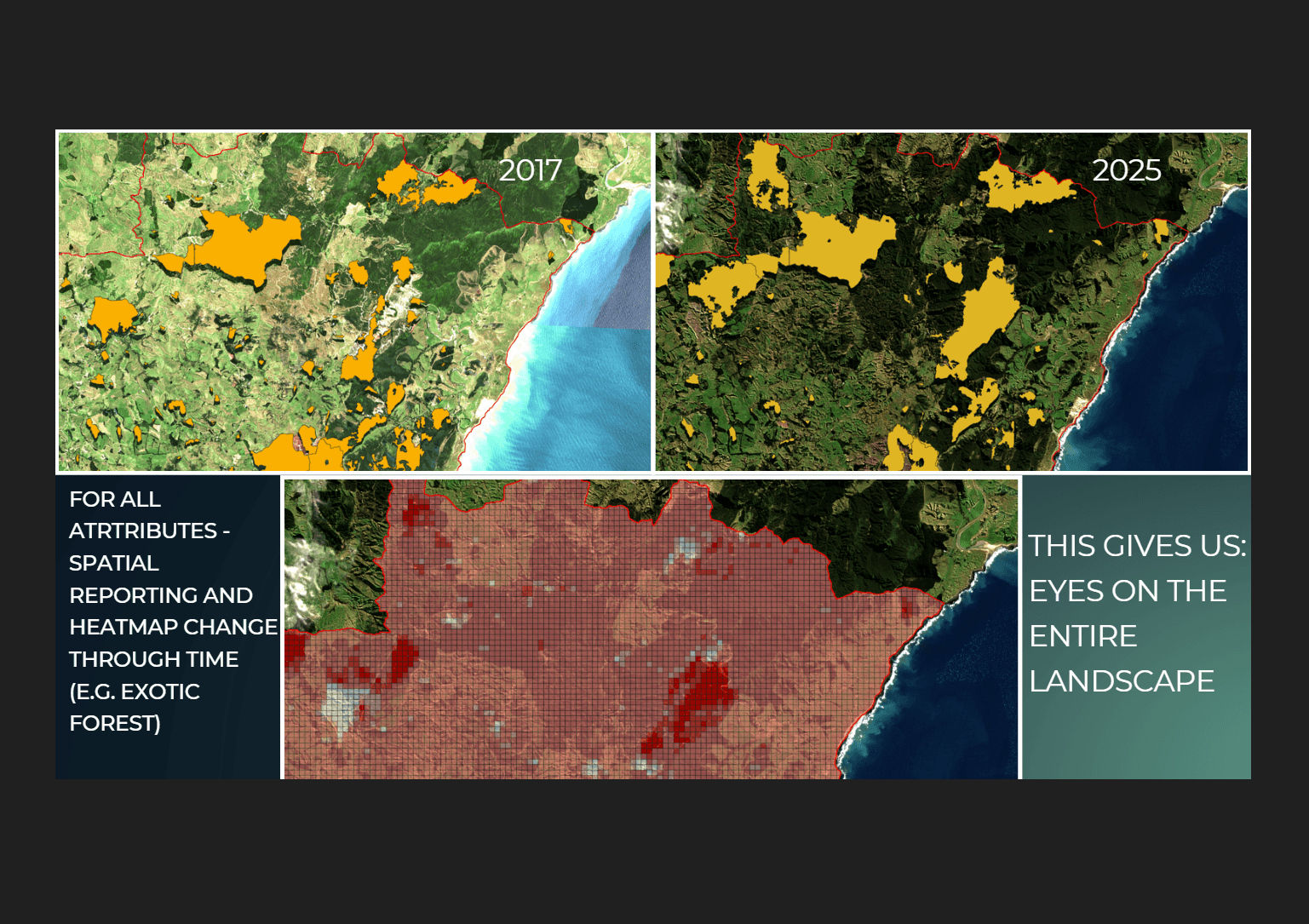
Vegetation change through time in a small catchment
As part of a project for Greater Wellington Regional Council, the Land Scanner team mapped vegetation change in a small forested catchment called Stoney Creek, in the lower North Island of New Zealand. Land Scanner show the extent and timing of the production forest harvest cycle. Click here to find out more.
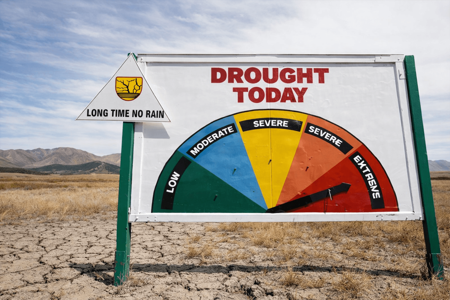
Tracking drought persistence and recovery
Droughts impact many parts of the globe. Drought duration, extent and recovery can be analyzed using Land Scanner all over the world. We plan to use our detail records to help predict drought and demonstrate recovery times. Click here to find out more about our drought measurements.
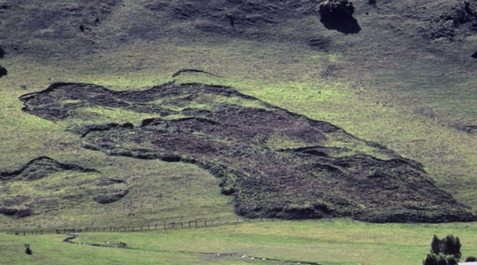
Research into vulnerable landslide soils
During the wetter months, the Land Scanner team noticed that some hill country soils were showing up as much wetter than others. These soils were typically oozing water and correlated with areas that looked like earthflow or mass wasting sites. The team is now investigating the possible link so that we might be able to predict vulnerable soils an provide a warning system for these areas.
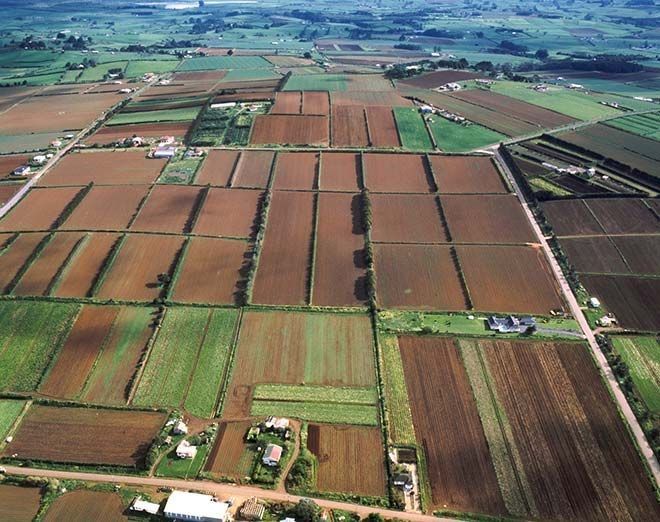
Tracking cropping change across a vegetable growing landscape
Many parts of the landscape are transient in nature and hard to measure. Due to the frequency of data collection however, Land Scanner can pick up seasonal change in land use. This case study explores the changes across a productive vegetable growing area. Click here to see more.