HOW WE HELP
A solution for understanding environmental impact and making informed choices for the future.
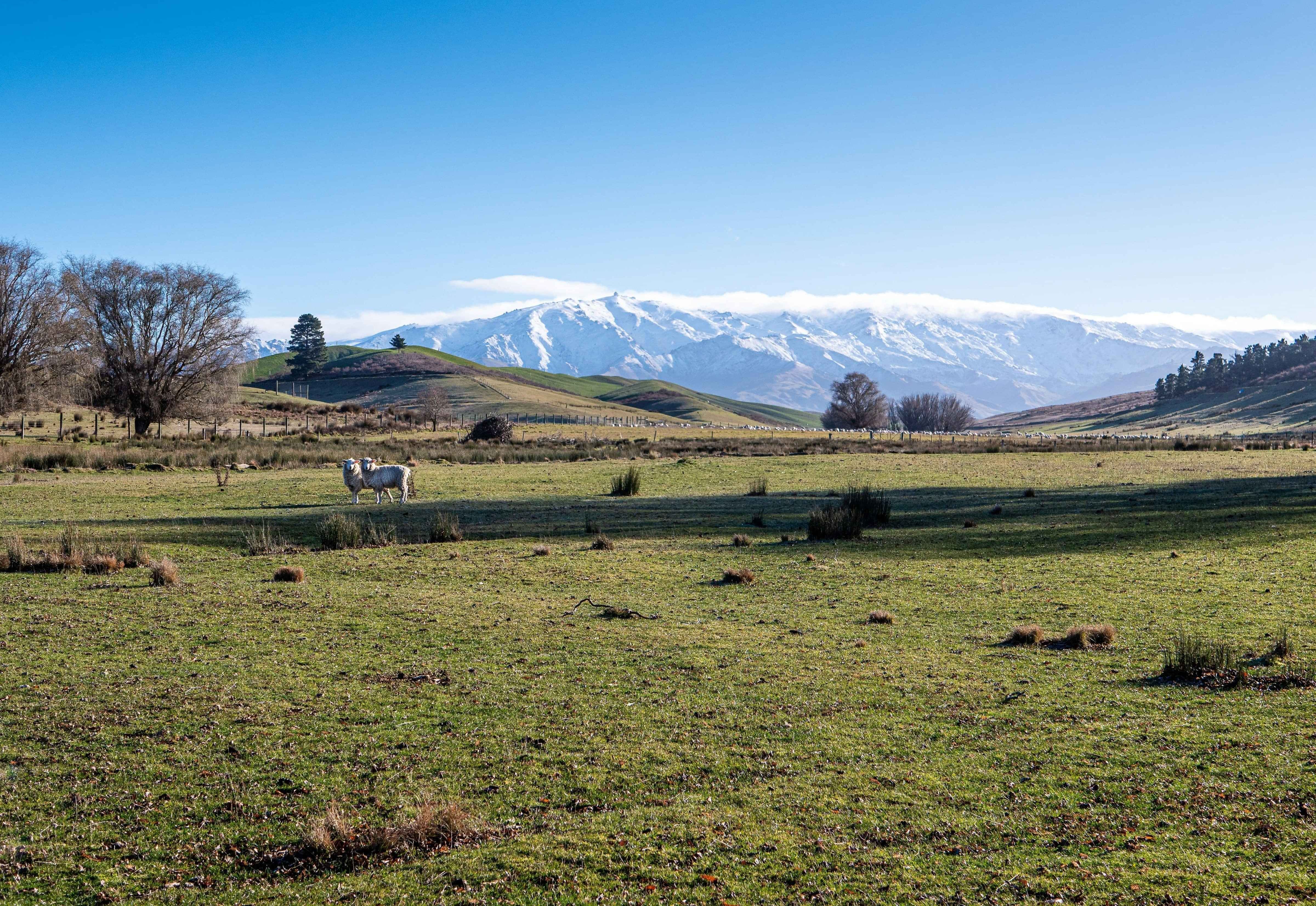
Solving a problem
Current landscape data is hard to access, costly, and unreliable. There are weather event data gaps, decisions being made with incomplete evidence, and an inability to link change. Landscanner solves these issues with smart, easy-to-use AI tools.
Practical support for change
Every organisation faces unique environmental questions. LandScanner takes a hands-on approach to sustainability consulting and impact assessments, providing clear information shaped by solid data. We bridge the gap between complex science and real-world action, so you can make decisions with confidence.
Turning insight into action
Landscanner helps you understand whether environmental programs are making an impact.
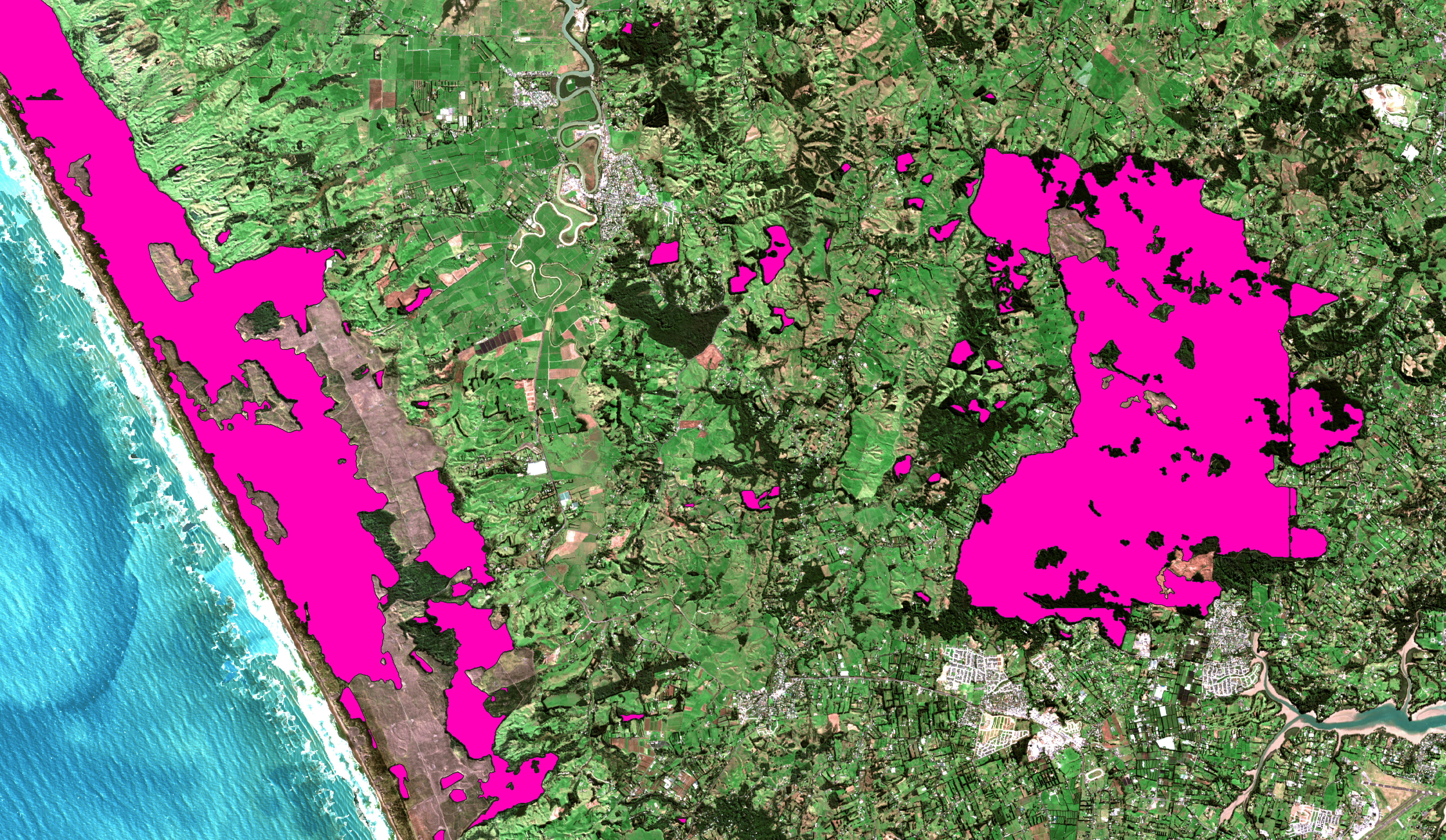
Seeing real-world results through clear environmental data
With LandScanner’s clear environmental data, clients can see the real-world impact of their sustainability efforts. Our platform brings together up-to-date analysis with easy-to-understand visuals, making it simple to track and measure progress over time. This transparency not only highlights what’s working but also helps identify areas for further improvement.
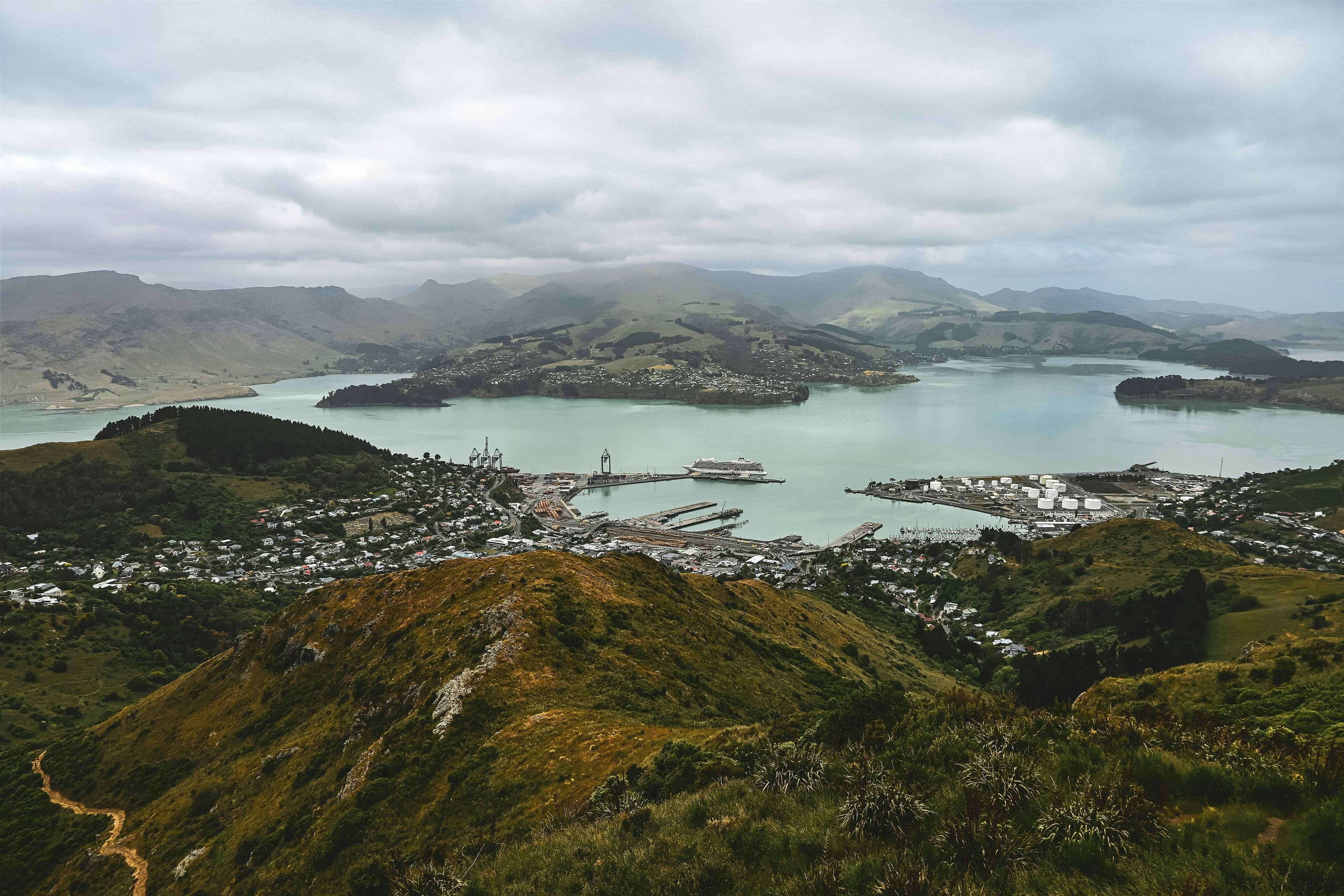
Helping decision makers
Landscanner supports central government, nation-wide organizations, district, and regional authorities in understanding their landscape. By focusing on national, regional, catchment levels, it enables better monitoring, reporting, and decision-making at the scale that suits communities, policy and decision making.
Confident guidance from a friendly team
Our people aren’t just experts in sustainability consulting and impact assessments—they’re approachable, direct, and ready to share knowledge. We listen, answer your questions, and bring research to life in ways everyone can use.