HOW LAND SCANNER WORKS
A solution for understanding the landscape, environmental impact and making informed choices for the future.
Overview
Land Scanner uses advanced remote sensing and GIS / satellite derived data to give a clear view of landscapes and how they change over time. Our platform turns complex imagery into practical insights for use in many sectors. Through AI analysis we make complex data easy to understand, helping users make informed decisions. Our innovative and straightforward system puts you in control of how you investigate and report on the state and change in your landscape.
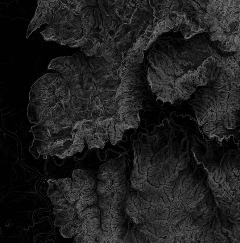
Landform & Geomorphology
Land Scanner uses AI driven mapping and data analysis to identify key physical features like hills, valleys, rivers and plains. By combining satellite imagery with on-ground data, we provide users with a clear picture of both the visible terrain and the underlying factors driving landscape evolution. This approach helps ensure that all future plans or projects are based on detailed knowledge of the area’s physical structure, supporting more informed and sustainable decisions.
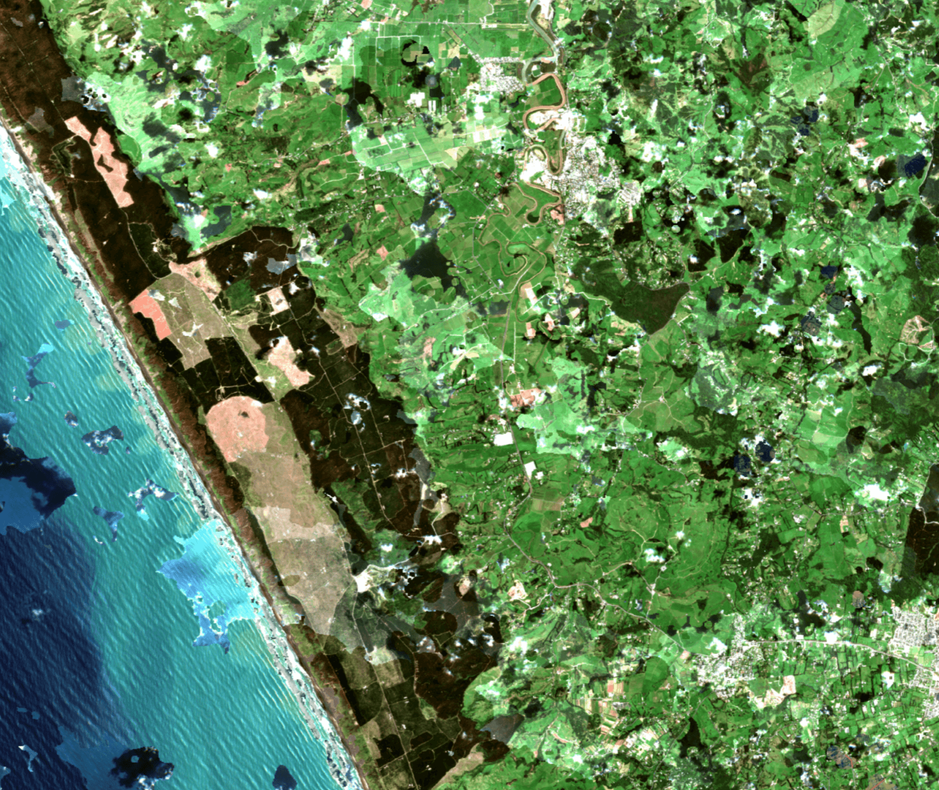
Land Use Characteristics
The land is continually changing through land use. Land Scanner differentiates between land uses by analyzing textures and spectral signatures. Frequent and consistent landform data enables our AI to identify features like vegetation types, water bodies and bare ground to classify land use change. This assists in mapping and monitoring changes on the ground and can provide heat maps or triage tables so we can understand where the change is the greatest.
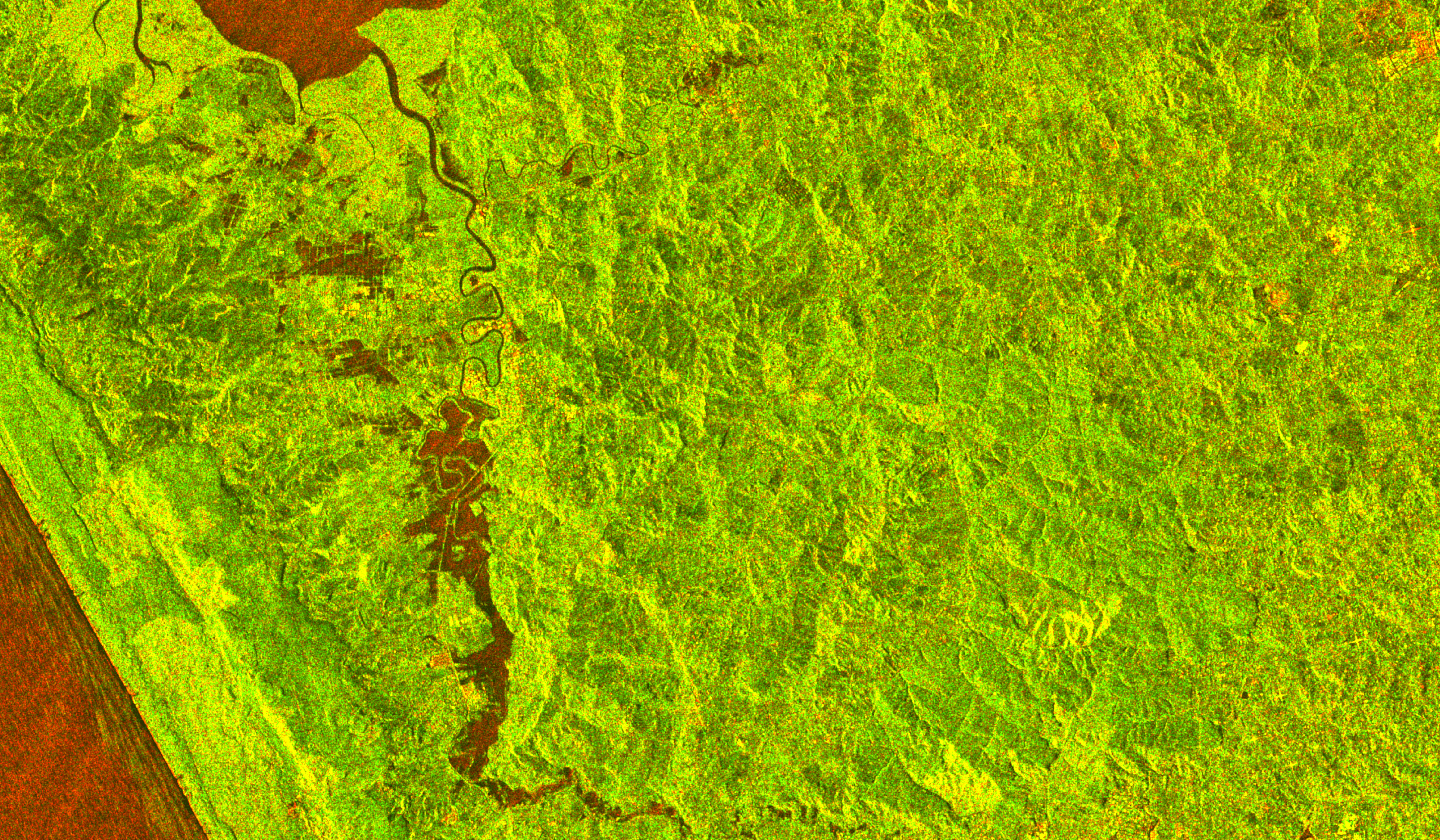
Hyperspectral & Reflectance
Land Scanner technology works by integrating hyperspectral and reflectance imaging through different timescales. By measuring light intensity and reflectance through radar, our system can reveal subtle differences in land cover, vegetation health, and soil conditions that might be missed by other methods. Radar can penetrate clouds and is available even during storm events, meaning users receive frequent, regular and consistent information. Land Scanner uses this particular data to refine other methods, define waterbodies, map floods and at risk soils.