TRACK PROGRAMMES. MONITOR PROGRESS
Using satellite imagery we can measure landscape change due to project activities. Land Scanner allows you to measure 'on-the-ground' change from policy, engagement, marketing, implementation and funding.
Visualise land change
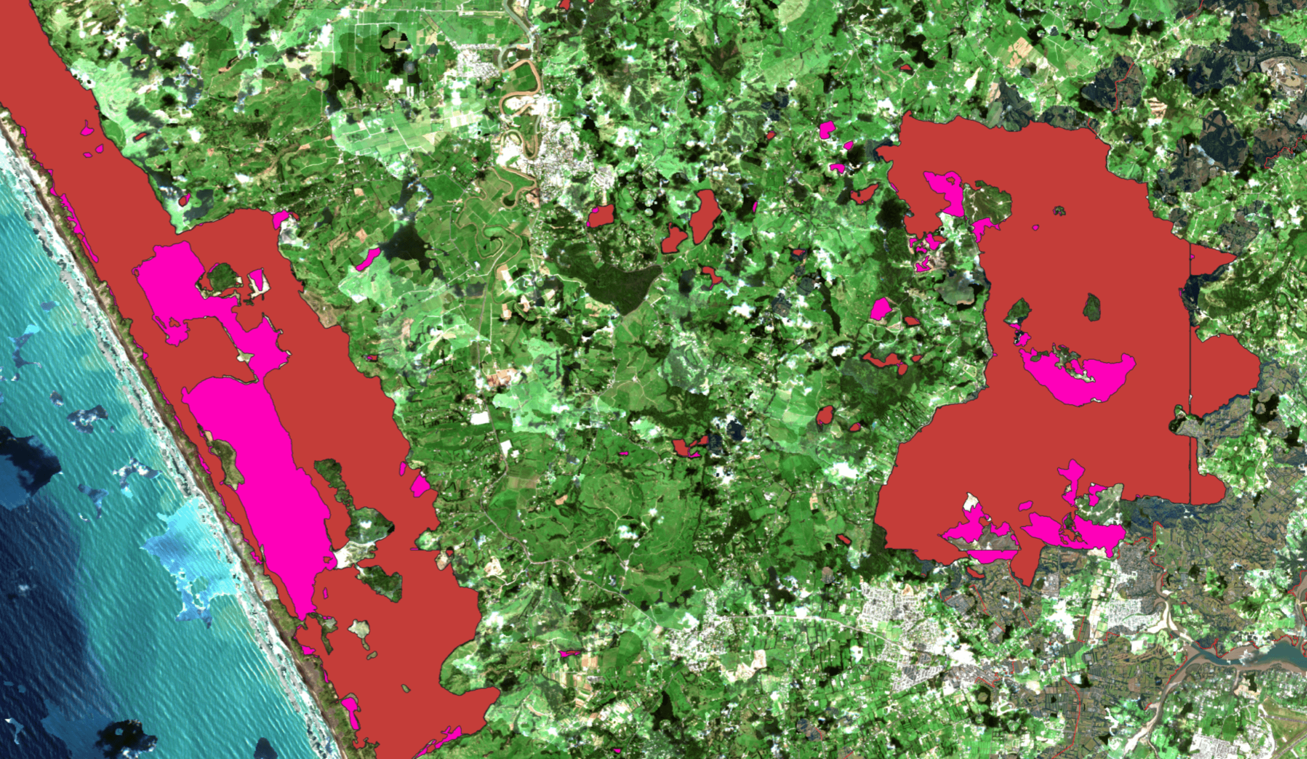
Land Scanner enables you to understand landscape changes through time and space. This can assist with developing conservation plans, understanding land-use types, and regional vulnerabilities.
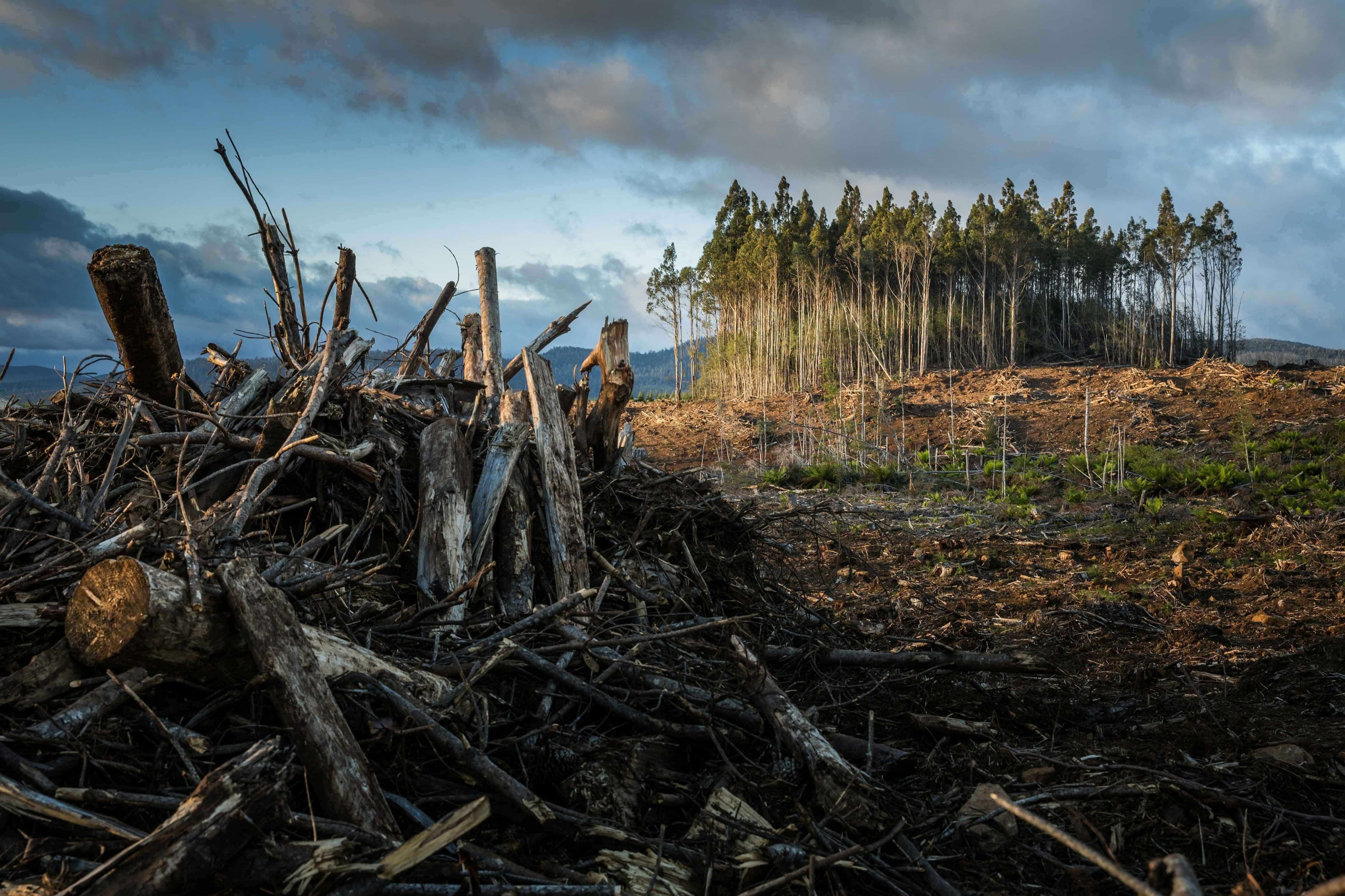
Heat maps can be created to clearly visualise landscape changes. These can be specific such as the change in native forest areas.
Vegetation example
Identify meaningful shifts in vegetation over time by tracking and reporting total area changes. Mapping both native and introduced plants reveals patterns of regrowth or loss, helping to measure project impact, inform policy, assess Emissions Trading Scheme relevance, and understand forest cycles such as planting and harvesting.