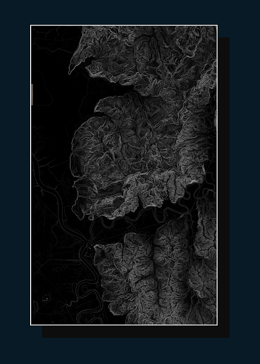
Landform & Geomorphology
DETECTS, ANALYSES AND REPORTS STATE AND CHANGE TO ENHANCE
UNDERSTANDING OF THE WORLD, ENABLE BETTER DECISION MAKING AND STEWARDSHIP
Land Scanner can work anywhere on the planet I Land Scanner enables evidence based landscape change detection, monitoring and informed decision making
Fast decision making I Consistent results I Landscape monitoring I Change alerts
Operational decision making enhanced through evidence based accounts of flooding, drought, vegetation clearance, erosion susceptibility, productive landscape change and natural hazards. In a snapshot:
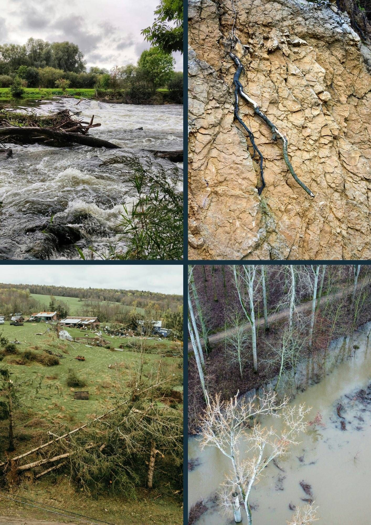
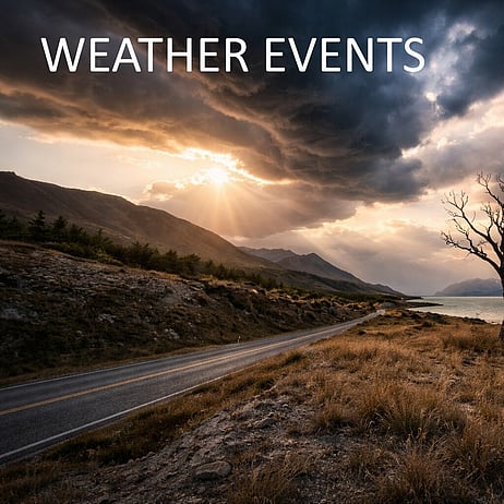
RISK, NATURAL HAZARDS & EVENTS
The Current Challenge:
As peoples lives and livelihoods are impacted, landowners and managers need to make quick decisions after extreme weather events and other natural hazards. However, there is often insufficient time for appropriate assessment of damage and impact from events. As these events happen without warning and we have to respond quickly, often data capture is missed at these crucial times. Data which of course help us prepare for future flooding events.
The Land Scanner Solution
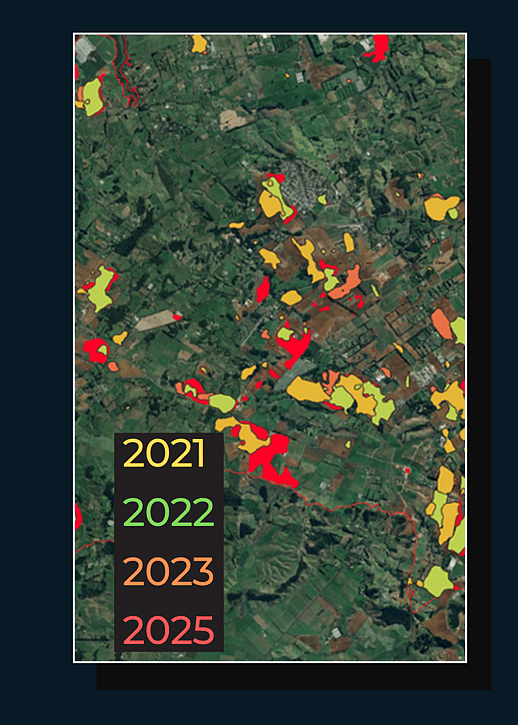
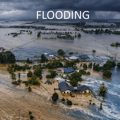
Land Scanner provides consistent near-time mapping of natural events - floods, erosion, deforestation, sedimentation (a few days to a week after an event). This enables knowledge of the extent and duration of impacted areas, so that managers and landowners can make informed decisions, communicate to communities, enable consistent reporting through time and importantly, provide .
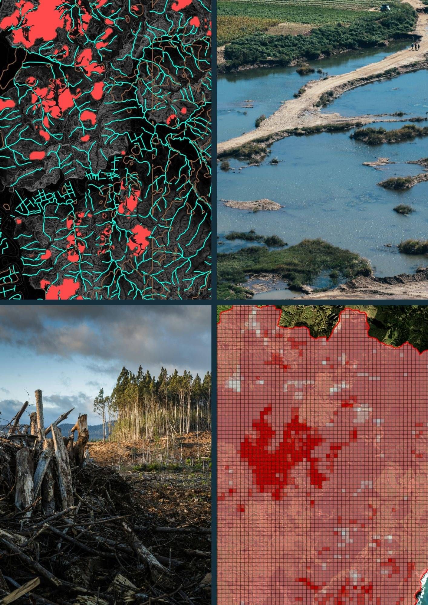
PRIORITIZE, TRIAGE AND UNDERSTAND CHANGE THROUGH TIME
The Current Challenge
Resources, budgets, expertise and skills are all finite resources when it comes to natural resource management. Often government, state or regional managers roles are designed to provide a strategic approach to natural resource management. These strategic approaches require good understanding of vast or complex areas of land - areas which are typically data poor or challenging to understand, making good resource allocation challenging.
The Land Scanner Solution
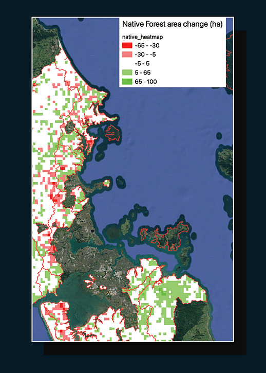
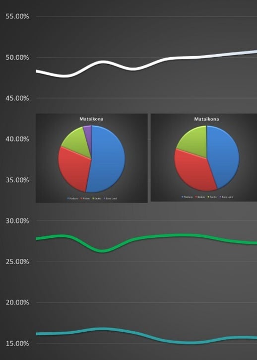
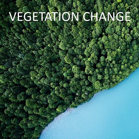
Land Scanner enables us to track vegetation, land-use, flooding, drought, forestry and soil change through time. Easy to understand heat maps show where change has occurred most and enables a quick and accurate view of large landscapes. This enables strategic and prioritized approaches to occur in areas that are typically data poor.
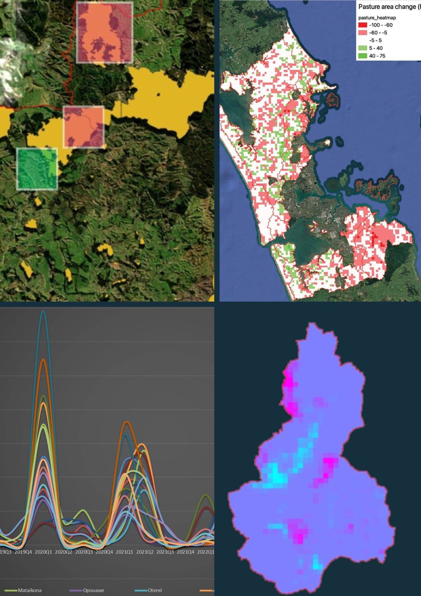
DATA CONSISTENCY AND CLARITY
The Current Challenge:
Too often land and catchment managers say they are making landscape decisions based off incomplete or inconsistent data sets. This can lead to unprioritized investment, or arguments from different aspects of the community over which areas have been most impacted, which get the biggest floods, which are a priority and which need the most support or investment.
The Land Scanner Solution:
Land Scanner provides consistency in analysis and reporting so you can compare apples with apples. We have data stretching into the future, but also the past, with 8 years of consistently gathered and reported data.
Landscanner provides a picture of the whole landscape with frequent, timely data, allowing communication to stakeholders, investors, communities to be clear and informed decisions to be made.
HOW LAND SCANNER WORKS
LAND SCANNER WORKS THROUGH
THE CAPTURE AND PROCESSING OF LARGE DATA
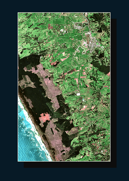
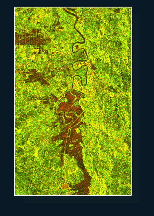
Land Scanner uses a wide range of satellite and GIS data, this is run through our trained AI model, enabling a new and detailed view of the landscape.
The large and frequent data we use enables near time reporting of landscape change.
We use a range of data for example:
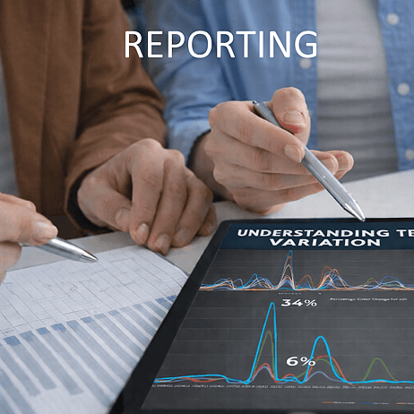
USING AI FOR CONSISTENT REPORTING AND MONITORING
Land Scanner uses AI to enable fast and consistent reporting of big data through time and space. This enables near time reporting and analysis
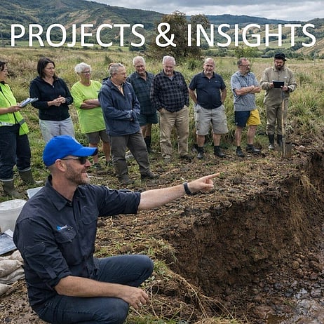
How we help
We turn complex data into accessible information and clear recommendations.
For impact assessments and data analysis, LandScanner delivers answers you can act on.